


A listing tells you what the house looks like. The offer is about where it sits.
Photos, the price and a walk-through still matter. They do not show the flood zone, the school district boundary, the county’s wildfire figures, or how asking prices in that ZIP compare with the county. Those answers live in different federal and state datasets. MapGO’s Property Location Report gathers them for one United States address and keeps the source on every figure.
Coverage is the 50 states and the District of Columbia. An address outside the United States is refused before a report runs. Puerto Rico and the other US territories are not covered yet.
The walk-through below uses a real report for 1675 East Altadena Drive, Altadena, CA 91001, generated on September 22, 2026. The same questions apply to any other US address. A new report on the same point can differ, because each one is a snapshot of the datasets on the day it was made.
Start with the pin
Search the address on the Property Location Report page, or open the same tool in the Workspace. The map opens on the United States. Click the map, type coordinates, or search the address, then confirm the pin sits on the building you mean.
For this house the nearest known address came back as a rooftop match: 1675 East Altadena Drive, Altadena, CA 91001. That match is the first check. A pin on the next parcel is a report about the next parcel.
A single report is a one-off purchase of $9, including for someone without an account, who receives it by email. Paid plans include a monthly allowance. The page and the PDF show the same stored report.
The flood zone at the point
The point sits in FEMA Zone X (unshaded), an area of minimal flood hazard, outside the Special Flood Hazard Area. The nearest high-risk zone, Zone AE, is 8.7 miles away. A Zone D polygon, where the flood hazard is possible but has not been studied, lies about 787 feet away.
Minimal flood hazard is FEMA’s lowest mapped tier. It is an area of lower mapped hazard, and it is still a reason to open the effective map. The layer in the report is a third-party copy of FEMA’s National Flood Hazard Layer, simplified to about 10 meters, without panel numbers or effective dates. Lenders use the effective Flood Insurance Rate Map. The report links that next step to the FEMA Map Service Center.
One contrast in this Altadena report is worth remembering on any house. FEMA’s National Risk Index rates the census tract’s riverine flooding as very high, while the point itself sits in Zone X. The index describes the whole tract. The flood section places this point on the map. Read both.
Wildfire, and the county’s disaster list
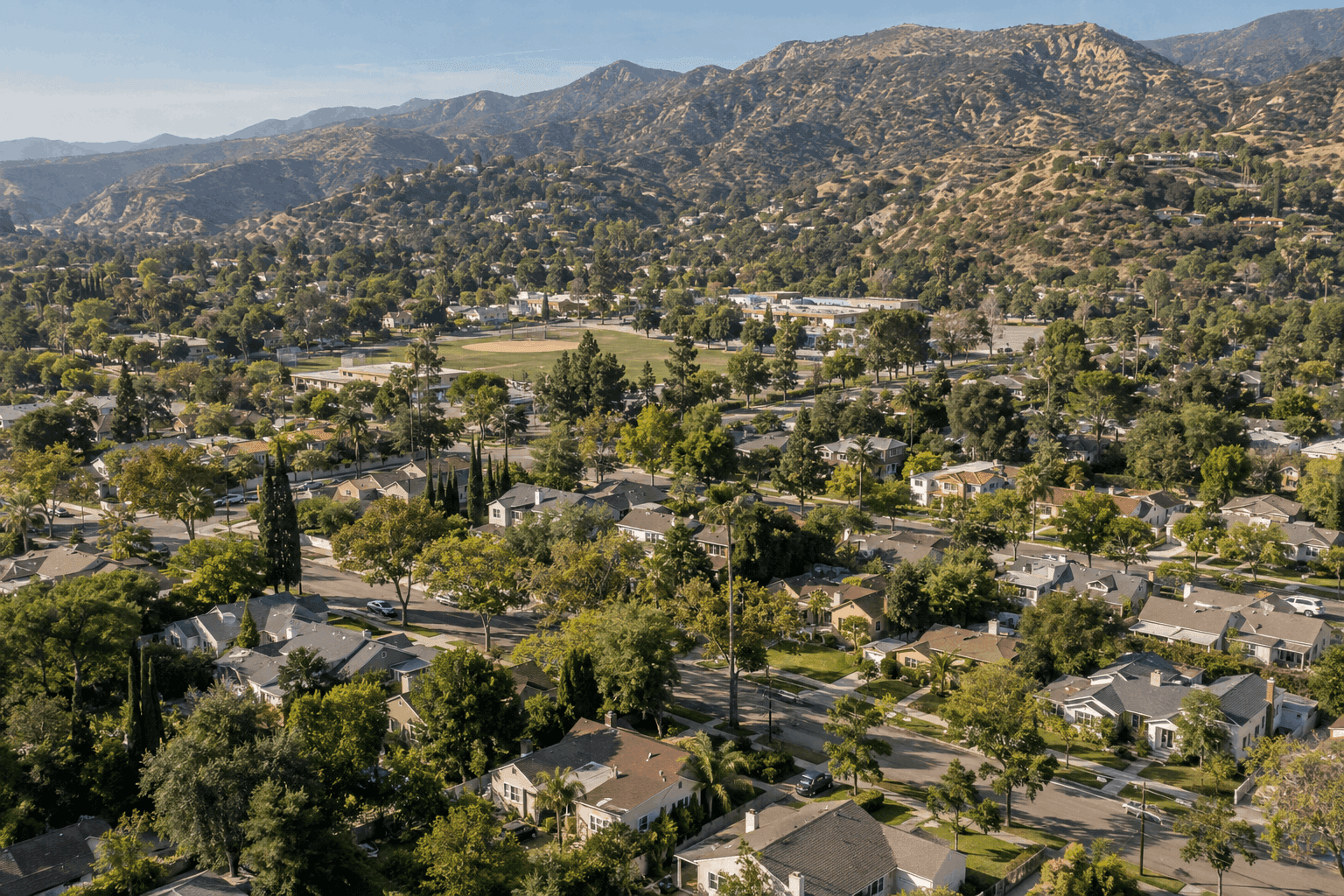
Wildfire Risk to Communities, from the USDA Forest Service, describes Los Angeles County: risk to homes in the 74th percentile of California counties, with about 5% of the county’s buildings directly exposed and 15% indirectly. Those shares are of the county’s buildings, about 2.7 million of them. They do not rate this house. The report points a buyer to the local fire authority and an insurer for the property itself, and to wildfirerisk.org for the area context.
The tract’s National Risk Index rating is a separate, sharper line. Census Tract 4601.01 is rated very high for overall natural hazard risk, in the 99th percentile of California tracts, with wildfire, riverine flooding and earthquake as the leading hazards. That rating ranks the tract against other California tracts. It is an area statistic, with modelled losses across the tract, and it is not a probability that this house will be damaged.
Disaster declarations are county facts. In the 20 years before this report, 54 declarations named Los Angeles County, 44 of them for fire. The recent list includes the Eaton Fire in January 2025. That line means the county was inside a designated area. It does not record what happened at this address. On a street in Altadena, it is the question to take to the seller, the insurer and the local fire authority.
Schools, without assuming assignment
The point falls in the Pasadena Unified School District, from the Census school-district boundary. The nearest public school in the National Center for Education Statistics list is Charles W. Eliot Middle in Altadena, 1.0 mile away in a straight line. Altadena Elementary is 1.1 miles away. Four public schools lie within 3 kilometers, and the report lists all four.
Straight-line distance is not an attendance assignment. The district sets that. The report says so in the schools section and again in the checklist at the end.
What the homes on the market are asking
In August 2026, Realtor.com’s median asking price for homes listed in ZIP 91001 was $1,649,990, about 27% higher than a year earlier, with 43 active listings and a median of 60 days on the market. Los Angeles County’s median asking price that month was $965,000, about 3.4% lower than a year earlier.
Those are asking prices of listings, for the ZIP and the county. They are not sale prices, and they are not a valuation of 1675 East Altadena Drive. The Census estimate beside them makes the same distinction in another way: the tract’s median owner-occupied home value is about $1,414,100, with a margin of error of about $211,000. It describes the tract, from the American Community Survey 2020–2024, and it describes no single house.
The short list at the end

The report closes the main sections with Before you buy, nine checks this Altadena snapshot actually supports:
1. Compare the ZIP’s asking prices and days on the market with the county’s.
2. Confirm school assignment with the district.
3. Ask the seller and an insurer about the hazards the National Risk Index ranks highest for the tract.
4. Check the effective FEMA flood map at the FEMA Map Service Center.
5. Check the wildfire context for the area, then the property’s own assessment with the fire department and an insurer.
6. If a mapped wetland or water body is close, ask about permits before planning work on the land. Here the nearest mapped stream is about 581 feet away.
7. Read the EPA pages for any site listed. Jet Propulsion Laboratory (NASA) is on the National Priorities List, 3.0 miles from this point. Nearness is not contamination of the property.
8. Ask the local police department about calls for service. The FBI figures in the report cover an agency’s whole service area. No city agency named Altadena appears in those tables, so the report shows the Los Angeles County agency.
9. Get the parcel record, title and easements from the county. The report describes a point.
The cover states the same boundary in one line: the report describes the surroundings of a point. It is not an appraisal, a flood-insurance determination, a school-assignment guarantee or a parcel record.
One address, then the questions that remain
Run the report before the offer, while there is still time to ask. Read the flood zone, the tract hazard rating, the school district, the ZIP’s asking prices and the checklist. Then use the checklist. The datasets name what to verify next, with a date and a source on each figure.
Open the Property Location Report, search a US address, and read the snapshot before you write the offer.